Call for Expert Advice
0800 453 422
Official NZ Leica Geosystems Dealer
Free Shipping For Online
Orders Over $50

Training Academy Detection

LEARN FROM THE EXPERTS

Boost your knowledge as you learn from our expert Detection team of qualified instructors who deliver technical training courses designed to deliver professional development and key industry skills. 

Indent Triangle 20x20-Max-Quality (2) DETECTION TRAINING COURSES

Extend your knowledge with Utility Detection Training Courses designed to take a deep dive into the practical applications of these technologies.

Synopsis: 

The LINZ Utility Location standard provides a new framework for recording the location of utility assets. Instead of defining the position in terms of the property boundaries, they are defined in terms of the geodetic control network. This is the same network used to define the position of property boundaries. Virtually all modern spatial data, including aerial imagery, uses this framework – which ensures it can be accurately integrated and spatially overlaid. Effectively the framework, and this standard, provide the glue that enables disparate spatial datasets to be joined together.

What you'll learn:

Using and understanding the standard

How to integrate the standard into your location capture workflows

What is TM 2000

What  is vertical datum 16

How to find Survey Marks & to get TM2000 coordinates

How to ensure the data is collected to the required accuracy standards

Using and understanding the limits of positioning technology (This includes GPS/GNSS & Total stations)

Office based training

No Survey Equipment needed

Please bring calculator

Duration: 1 Day

Cost: 

$1,500 per person

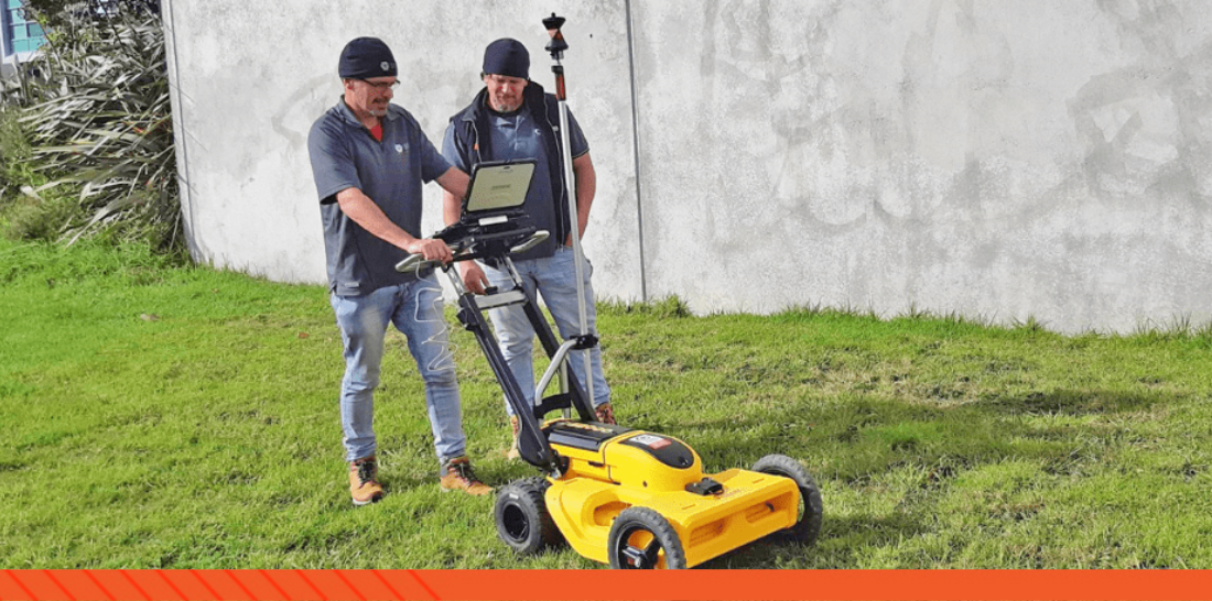
Experience Level:

Locators, Contractors, and Engineers who undertake the actual survey and measurement of assets.

Full training notes supplied.

Group Training on request.

Enquire Now Button X130

Synopsis: 

Learn the fundamentals of GNSS/GPS for the purposes of utility locating and mapping including how to operate a GNSS/GPS system, determine the quality of the data collected, NZ survey coordinate systems and providing suitable data for downstream use. 

What is GNSS

How does GNSS work

What prevents GNSS/GPS from working (and what we can do about it)

Introduction to Coordinate systems

Vertical Coordinate systems

Horizontal Coordinate systems

Precision vs Accuracy

GNSS accuracy vs reliability

AS5488 Quality level A & B measurement and tolerance

Practical outdoor exercises

Duration: 1 Day

Cost: 

$1,500 per person

Experience Level:

Professional Locators, Construction Engineers, Graduates and anyone in the construction industry who may need to use GNSS/GPS to accurately locate and map underground utilities.

Enquire Now Button X130
 

Indent Triangle 20x20 Grey Background-Medium-Quality CUSTOMISED TRAINING

  • Customised Survey Workflows

  • Customised Captivate Stylesheets

  • Customised Pointcloud Workflows

Talk to us about your training requirements and how we can tailor a course to fit your specific project or team.

Find Out More Button


Indent Triangle 20x20 No background (2) LEICA E-LEARNING

For product specific training, Leica E-Learning offers a comprehensive range of training courses and e-learning opportunities to all Leica customers. 

Find Out More Button


Indent Triangle 20x20 Grey Background-Medium-Quality-1 LET'S TALK TRAINING

Enquire here for more information on our Reality Capture training courses.

ENQUIRE NOW Button (1)


MEET THE INSTRUCTORS

Tap into decades of knowledge and technical expertise with our team of qualified industry experts.

Bruce-circle

Bruce Robinson

Director & Survey Manager

With more than 30 years experience as a Surveyor, Bruce's specialist areas of interest include geomatics, geodesy, HDS, BIM, IT, and communication technology to improve spatial data capture and analysis. Bruce has been instrumental in developing the SmartFix RTK network.

email-icon 768px-LinkedIn_logo_initials

campbell

Campbell McNair

Construction Specialist

Construction and detection technology including Lasers, Pipe Lasers, Cable Locators, Ground Penetrating Radar and vertical build solutions


email-icon 768px-LinkedIn_logo_initials

mark

Mark Tucker

Construction Specialist and Customer Services

Construction and detection technology support and customer services


email-icon 768px-LinkedIn_logo_initials